Files from DigiMap can be opened or placed on an Illustrator artboard.
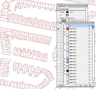
Try switching layers off until you are left with just the buildings, some editing will be required to clear a site or update the map.
If you want roads or property boundaries, these are probably in separate layers.
Export the finished file as a DWG for inclusion in a 3D CAD package.